Resources

Your Earth Observation Toolbox

Education

Capacity building to enable EO-driven problem solving across all levels and sectors of New Zealand.

Equipment

Boosting NZ's scientific progress through shared equipment use and start-up ecosystem growth.

Data

Pursuing open sharing with discretion, fostering data discovery and task-enabling partnerships.

Software

Advancing open-source tools that leverage geospatial data and AI for Earth Observation.

Publications

Guides, tools, and journal articles that utilize remote sensing tools.

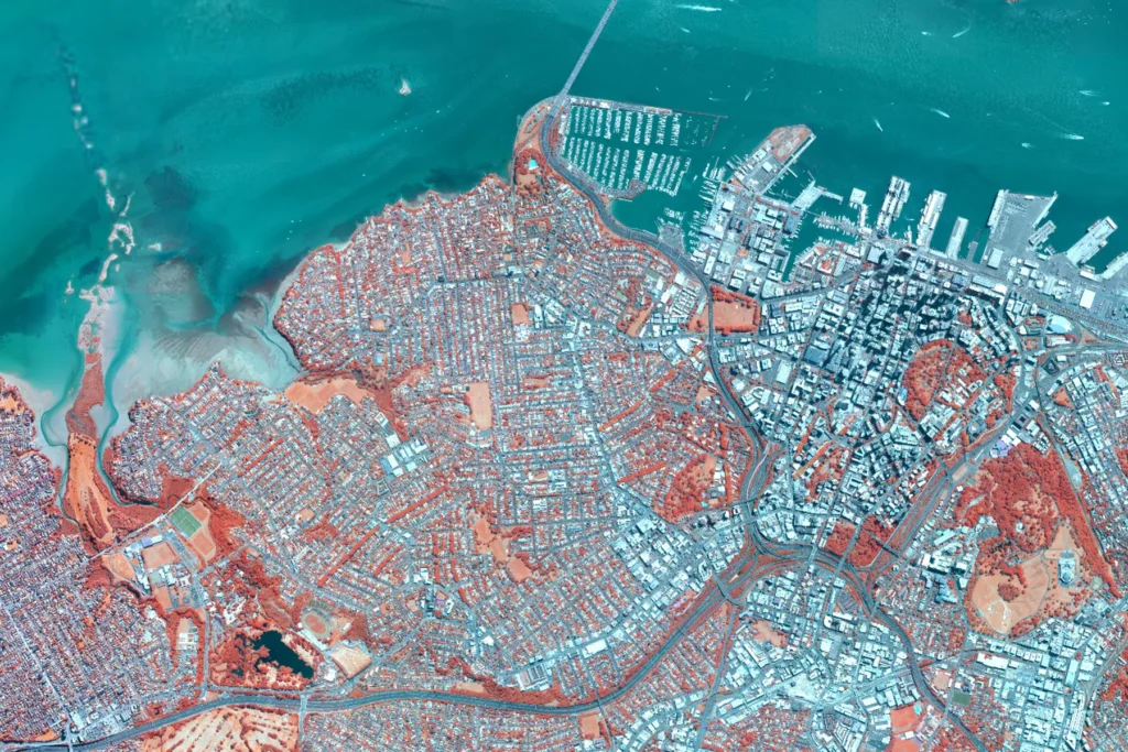
Newcomers Earth Observtion Guide
Newcomers Earth Observation Guide image
Newcomers Earth Observtion GuideBeginnerFreeResources

Newcomers Earth Observtion Guide

Providing a starting point in the decision process for selecting an appropriate Earth Observation solution.
Access Copernicus Data
Access Copernicus DataFree

Access Copernicus Data

The Copernicus Programme provides users with free, full and open access to environmental data.
EUMETSAT
EUMETSAT logo white
EUMETSATFree

EUMETSAT

A collection of self-paced resources.
Sentinels Toolboxes
Sentinels ToolboxesFree

Sentinels Toolboxes

The Sentinel Toolboxes and their full source code are distributed freely under the GNU GPL…
EO Lab GitHub
EO Lab Aotearoa GitHub
EO Lab GitHubAdvancedFreeIntermediate

EO Lab GitHub

EO Lab's GitHub page, your go-to resource for sharing, contributing, and collaborating on our latest…
Cheqroom Equipment Rental
Cheqroom EO Lab Equipment Rental
Cheqroom Equipment RentalAdvancedEquipmentIntermediate

Cheqroom Equipment Rental

Explore our selection of Earth Observation equipment, available for hire and rent to support the…
NASA Applied Sciences Training
Nasa Applied Sciences Training
NASA Applied Sciences TrainingBeginnerFreeIntermediate

NASA Applied Sciences Training

Access free introductory webinars and courses to kickstart your journey in Earth Observation and its…
QGIS
QGIS Logo
QGISBeginnerFreeIntermediate

QGIS

Open source geographic information software, for easy visualisation of geospatial data with many advanced tools.
Geemap
Geemap Logo
GeemapBeginnerFreeIntermediate

Geemap

GEEmap: A Python package for interactive geospatial analysis and visualization with Google Earth Engine.