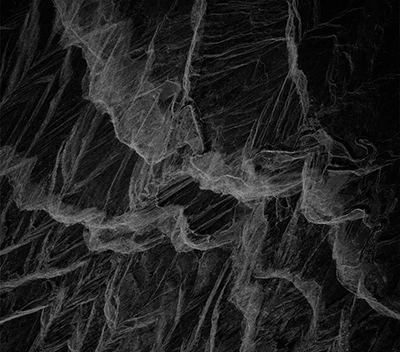
A synthetic radar image over the hills above Gisborne, NZ. Searching for slope failure and movement.
Credit: Umbra by SkiFi.
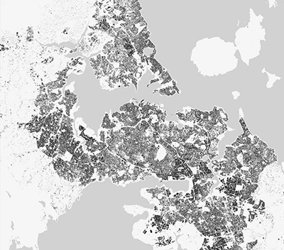
Auckland, World Settlement Footprint 2019.
Image by: DLR/ESA
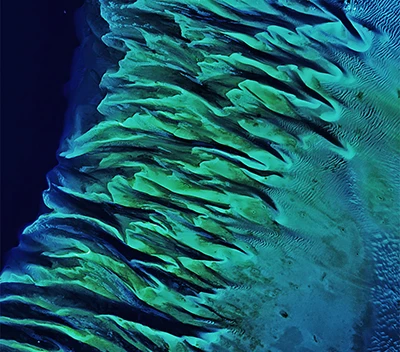
Still Sandy After All These Years. The timeless allure of the Great Bahama Bank - A unique blend of geological processes and marine life activity paints a captivating canvas of varying blues and greens, maintaining its charm almost two decades later in 2020.
Image by: NASA
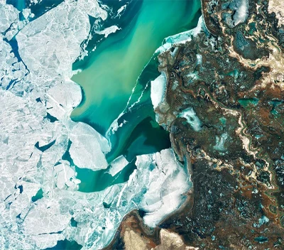
The Landsat 8's Operational Land Imager captured the verdant oasis of the Ili River Delta in southeastern Kazakhstan on March 7, 2020. A pivotal refuge for diverse wildlife, the delta hosts species such as the Dalmatian pelican and the endangered white-headed duck. Despite its designation as an internationally important wetland, concerns linger about its vulnerability due to water diversion for dams and irrigation projects.
Credit: NASA Earth Observatory images by Joshua Stevens, using Landsat data from the U.S. Geological Survey.
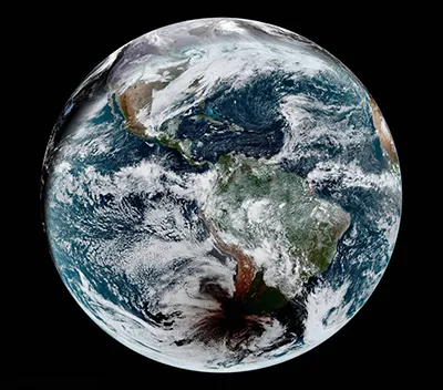
The first and only total solar eclipse of 2020 occurred on December 14, with the path of totality stretching from the equatorial Pacific to the South Atlantic and passing through southern Argentina and Chile. The Advanced Baseline Imager (ABI) on Geostationary Operational Environmental Satellite 16 (GOES-16) captured these images of the shadow of the Moon crossing the face of Earth. GOES-16 is operated by the National Oceanic and Atmospheric Administration (NOAA); NASA helps develop and launch the GOES series of satellites.
Image by: NASA

This stunning, false-colour image captured by Sentinel-2A on 15 August features southern Mongolia, bordered by China to the south and Russia to the north.
Credit: ESA

Scientific divers in NZ Waters.
Photo by: Shaun Lee
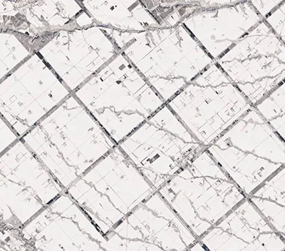
Forest buffers help protect grazing land and animals from the Japanese island's cold, windy winters.
Image by: NASA
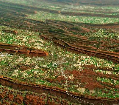
Painting Pennsylvania Hills.
Credit: NASA
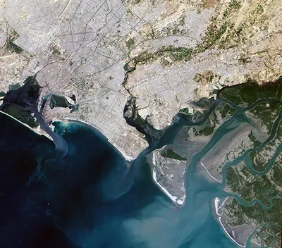
A centuries-old settlement that now ranks among the world’s largest, Pakistan’s seaport city of Karachi mixes intense urbanization with remnants of a natural environment. The Advanced Land Imager (ALI) on NASA’s Earth Observing-1 (EO-1) satellite captured this true-color image of Karachi on January 8, 2010. It shows the southwestern edges of the city, where mangroves and river deltas mix with ports and pavement.
Copyright: NASA.
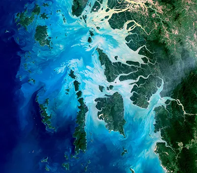
This natural colour image acquired by Landsat 5 on Dec. 14, 2004, shows the middle portion of the archipelago, including Auckland and Whale Bays. Swirling patterns are visible in the near-shore waters as sediments carried by rivers slowly settle out and are deposited on the seafloor. The small population of the archipelago has helped preserve its high diversity of plants and animals. In 1997, Burma opened the region to foreign tourism and in the years since it has become a major diving destination. A valued species of pearl oyster (Pinctada maxima) are found in nearby waters. Today, overfishing is emerging as a regional problem.
Image by: NASA - Landsat image created by Michael Taylor, Landsat Project Science Office.

The Visible Infrared Imaging Radiometer Suite (VIIRS) on NOAA-20 acquired this image of Hurricane Laura on August 27, 2020. Clouds are shown in infrared using brightness temperature data, which is useful for distinguishing cooler cloud structures from the warmer surface below. That data is overlaid on composite imagery of city lights from NASA’s Black Marble dataset.
Image by: NASA
