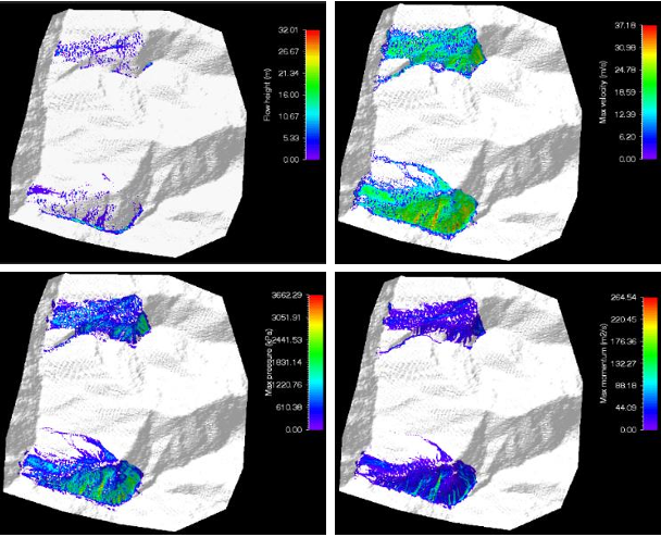
As a budding Geographer, I was always curious about how landscapes evolve and respond to natural forces. This curiosity found its direction during my work on a collaborative project with the United Nations Development Program (UNDP) while at IIT Kanpur, India. In the Bhagirathi Valley of Uttarakhand, Himalayas—an area prone to landslides—I played a pivotal role in designing an Early Warning System leveraging Remote Sensing and GIS. This involved integrating Rainfall Intensity-Duration threshold equations, conducting geotechnical analyses with the RAMMS model, and employing DInSAR to quantify land displacement rates. By combining these techniques with community engagement, we developed a life-saving system that became a template for disaster preparedness initiatives.
Thereafter, I collaborated with the Indian Space Research Organization (ISRO), where I had previously interned and trained. Using Earth Observation data, I developed python tools to automate workflow for wetland classification, identifying optical water types and integrating ecological, water quality, and socio-economic datasets. This experience reinforced my passion for using geospatial technologies to unravel complex natural patterns—a passion that continues to shape my career.
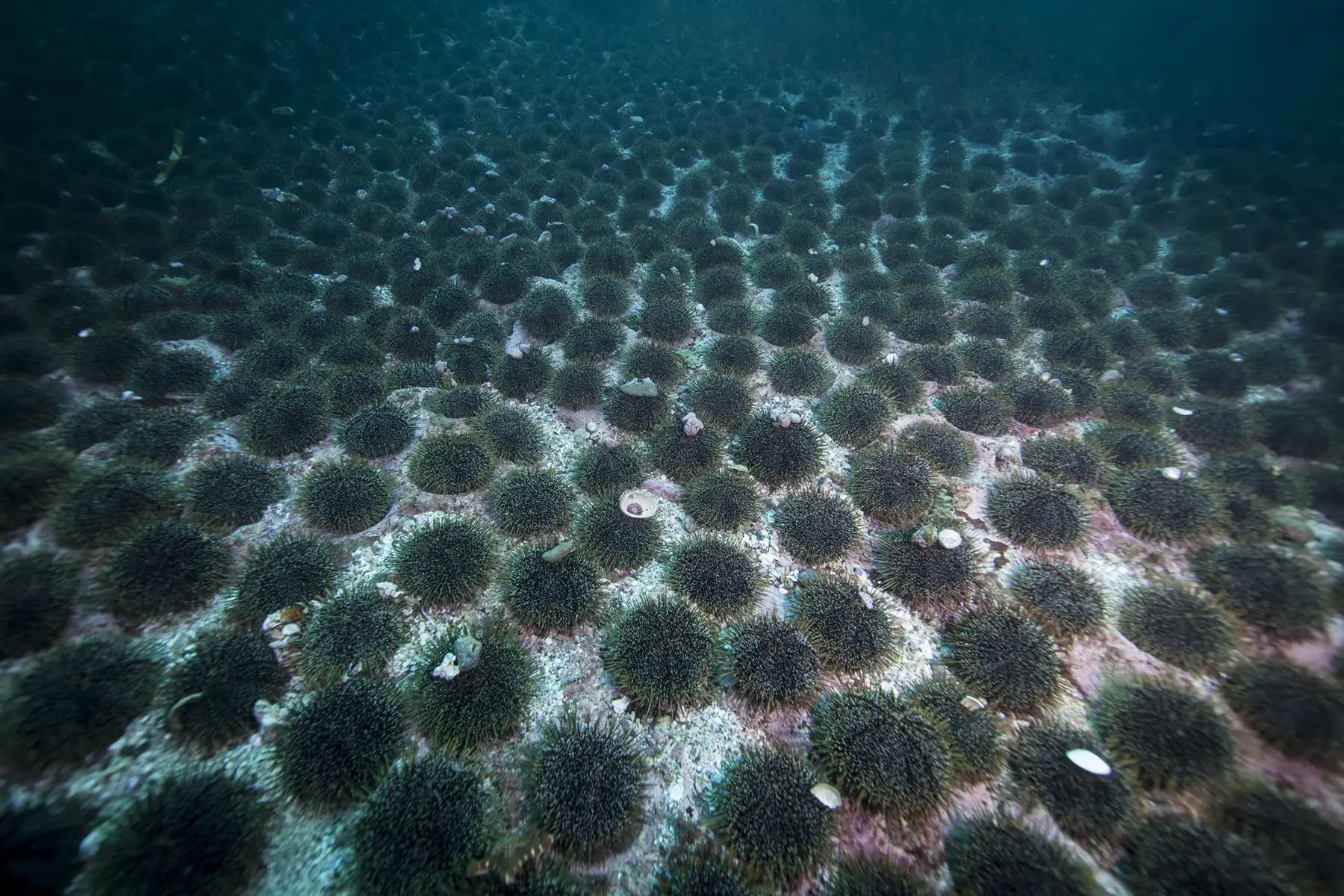
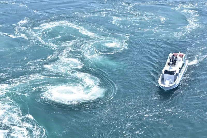
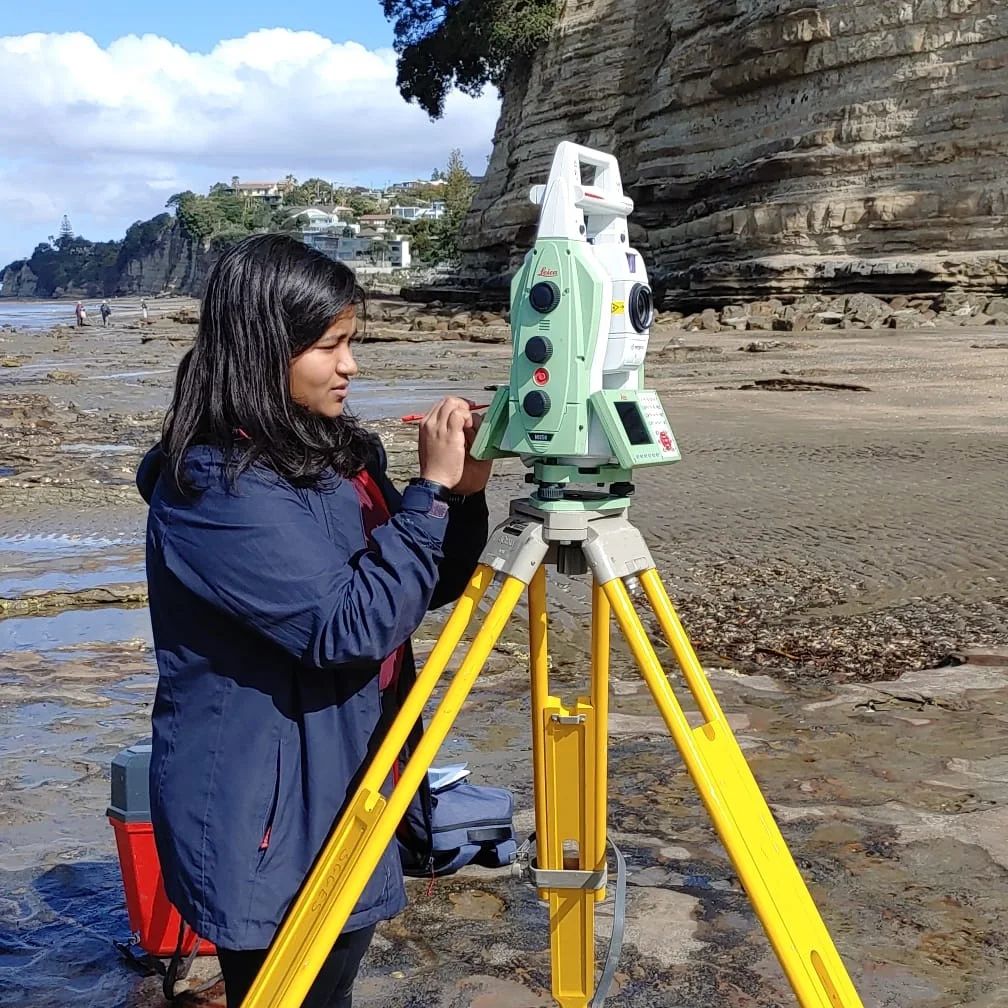
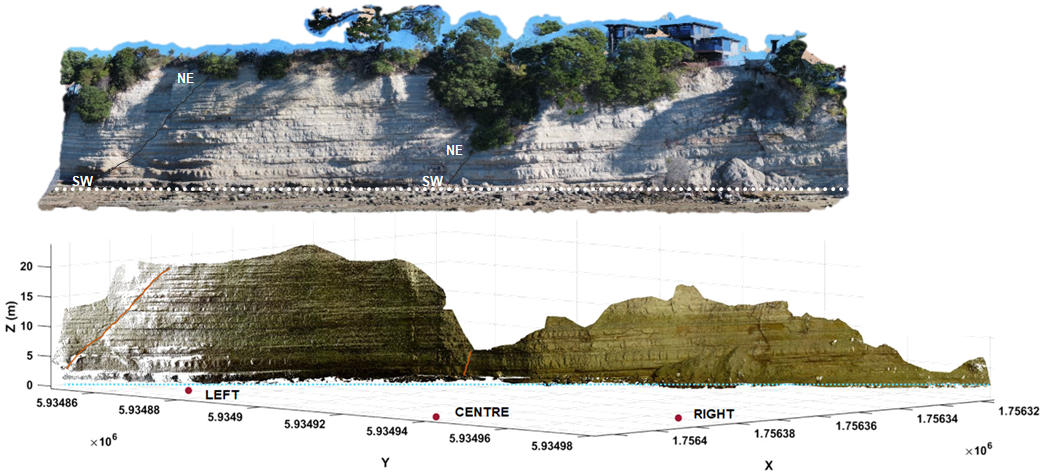
In New Zealand, my work expanded to address challenges posed by coastal erosion and natural hazards. During my PhD research at the University of Auckland, I tested Thermal data and used LiDAR data and morphological modelling to analyse shoreline evolution under the influence of sea-level rise. This work produced the most accurate cliff retreat rates for Auckland’s North Shore, providing valuable insights into the region’s vulnerability.
Beyond academia, I ventured into the industry and government sectors. As a Geomorphologist, my work continued to bridge the gap between Earth Observation data and real-world applications. I quantified coastline changes post-Cyclone Gabrielle, conducted property damage assessments for the Earthquake Commission (EQC), and reviewed land stability for district councils. Additionally, I led the development of disaster response applications, including python tools for automatic flood detection using high-resolution satellite imagery.
I also collaborated with Auckland Council on projects mapping landslides that threatened heritage sites using LiDAR and GIS. These efforts not only preserved cultural landmarks like pa sites but also demonstrated the value of combining geospatial tools with heritage conservation.
One of my most fulfilling achievements in recent times, has been testing the first commercial application of InSAR in New Zealand. Monitoring land deformation for a $1.7M infrastructure project, I demonstrated how cutting-edge technology could inform critical decision-making, optimize resources, and enhance resilience.
These experiences have shaped my appreciation for the transformative role of Earth Observation and GIS/Remote Sensing in addressing environmental challenges. My journey, albeit a very unconventional one, has been about translating data into action—whether through designing early warning systems, preserving heritage, or advancing disaster resilience. Each project reflects a deep commitment to harnessing geospatial technologies to create meaningful impact, bridge the gap between science and society, and inspire solutions for a sustainable future. I eagerly look forward to what lies ahead and the opportunities to continue making a difference!