Delivering
capacity development. cutting-edge technology. data-driven insights.
Sharing Knowledge, Building Capability
Earth Observation Laboratory (EO Lab Aotearoa) is an open, cross-sector community working to advance the use of EO data for collective benefit. Currently supported by the University of Auckland through a two-year grant, we aim to establish a nationally connected community for Earth Observation, in partnership with Te Pūnaha Ātea | Space Institute, Ngā Ara Whetū | Centre for Climate, Biodiversity & Society, and the Centre for eResearch.
Our mission is to be Aotearoa New Zealand’s nexus for collaborative innovation, supporting the goals of the New Zealand government’s National Space Policy and welcome those who wish to contribute. Our activities span community building, indigenous knowledge engagement, and capacity development across education, data, technology, and equipment. We seek to enhance access, accelerate EO-driven solutions, and ensure data sovereignty remains central. Rooted in accessibility and collaboration, EO Lab embraces an open-core model, aiming to become self-sustaining through strong partnerships with government, industry, academia and the wider EO community.
Our Earth Observation Specialists


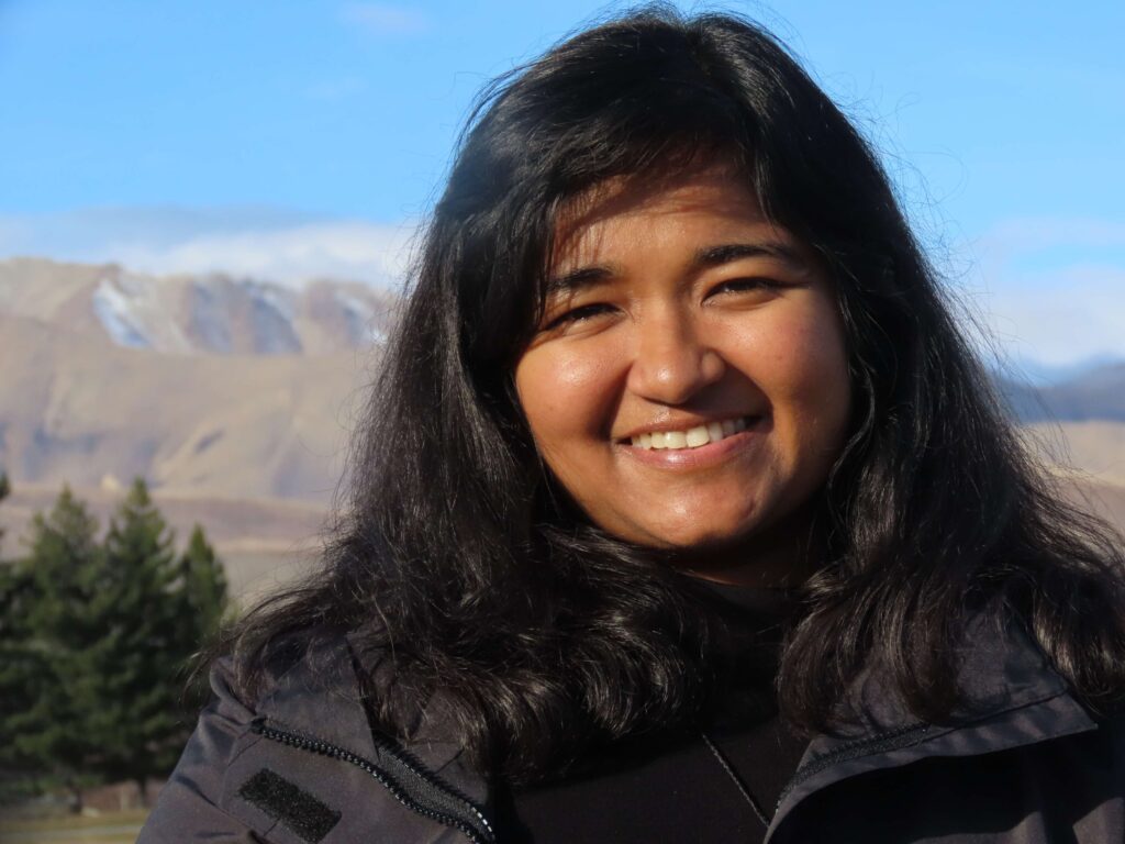
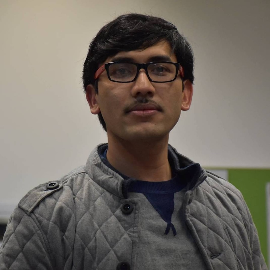
Her area of expertise is GIScience and urban analytics where her research interests mainly involve developing spatiotemporal analytics, modelling techniques to study and understand movement and protect privacy of movement data.
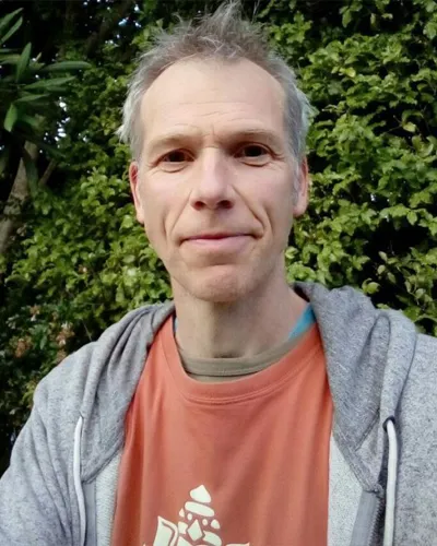
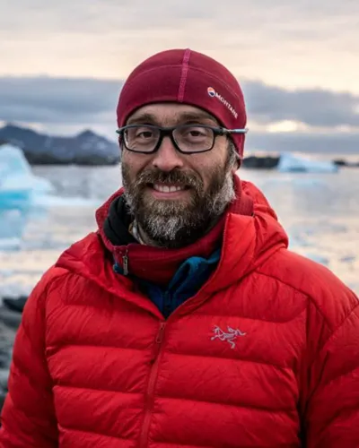
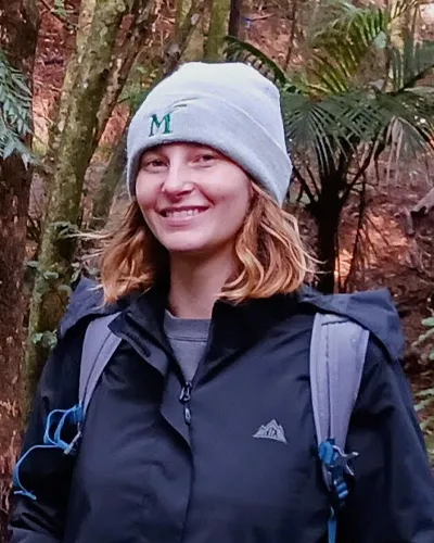
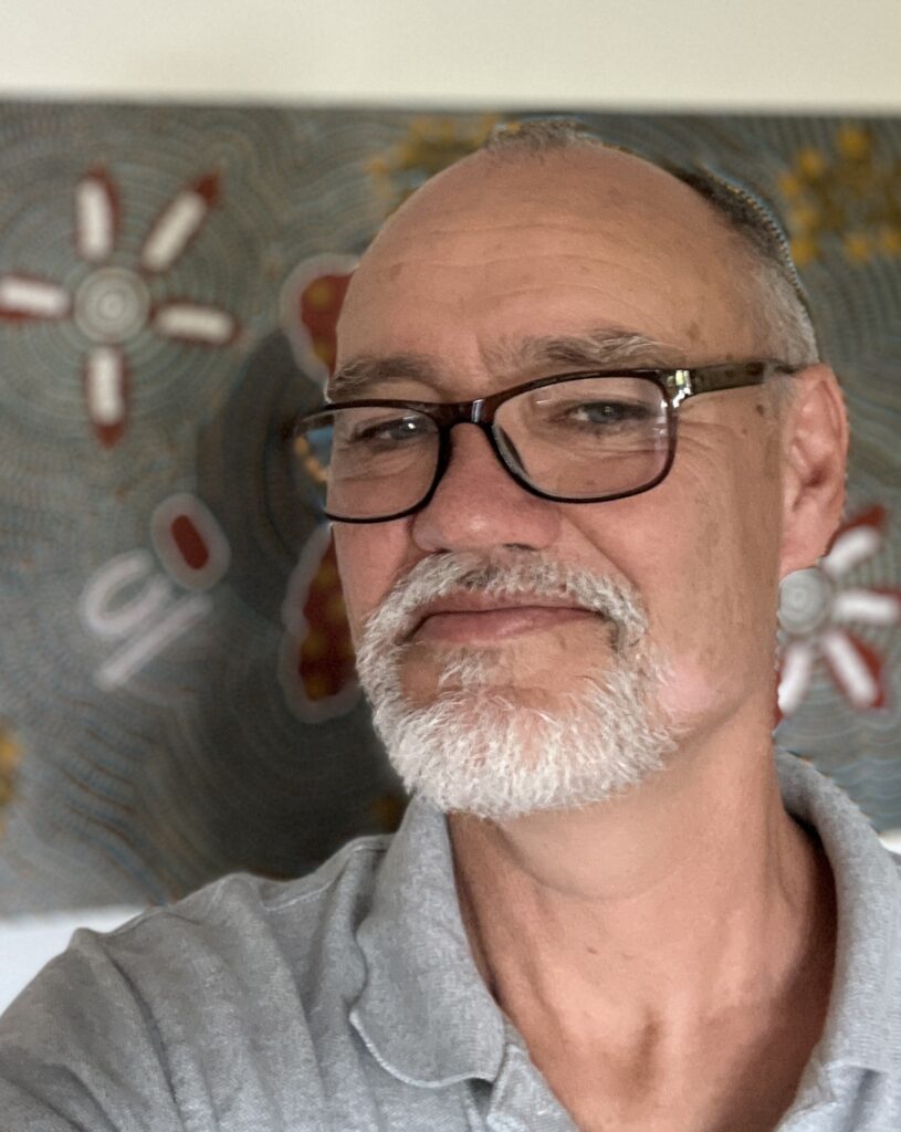
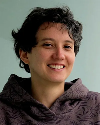

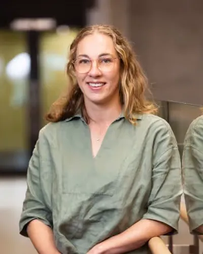
JR is committed to supporting Aotearoa New Zealand's just transition to a low-carbon and sustainable future. She is playing her part by training and mentoring future leaders to think critically and ethically about resources, energy and Earth systems.
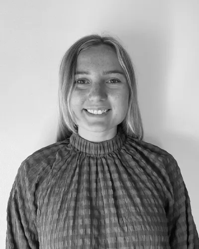


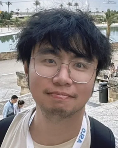
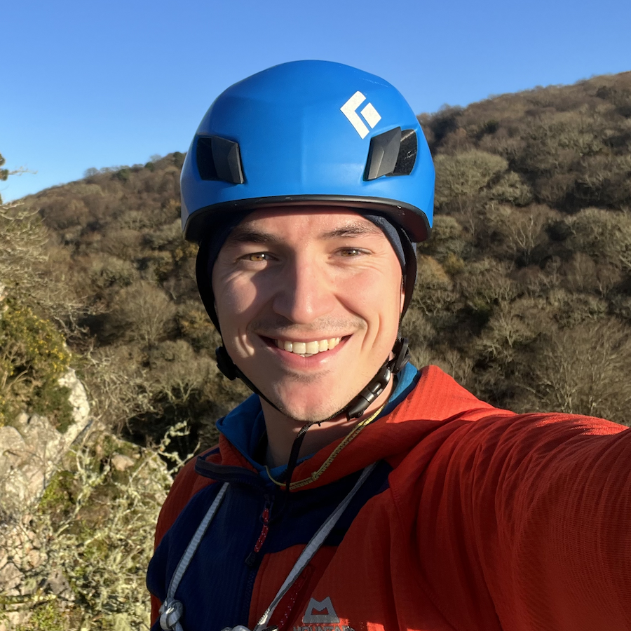
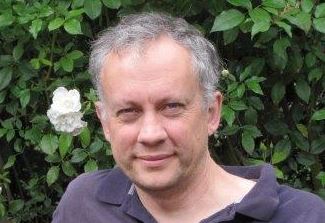
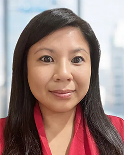
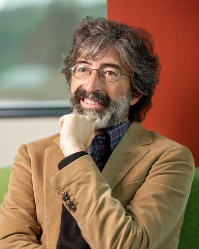
Giovanni's research focuses on coastal processes using a variety of approaches that include numerical and data-driven modeling informed by field and laboratory observations. He currently works on projects dealing the hydro- and morphodynamics of the swash and surf zone, inner shelf, tidal inlets and estuaries under climatic changes.
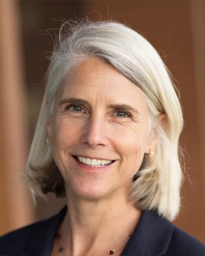
Her research focus underpins sound management of flooding and erosion hazards, port development and the stability of coastal ecosystems.
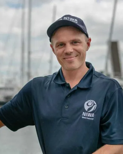
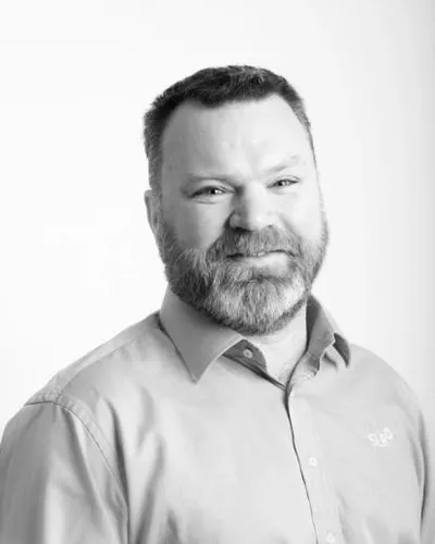
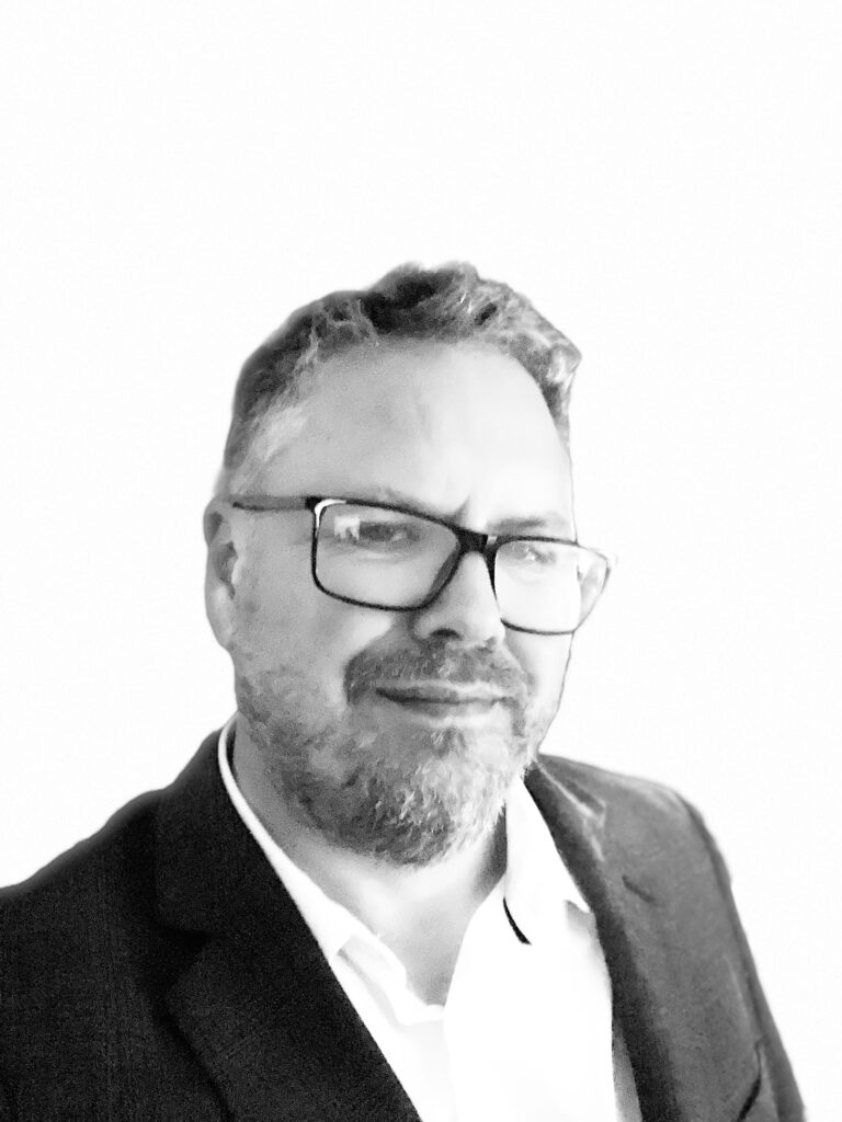
Peter has applied remote sensing solutions in bushfire risk mapping, vegetation monitoring, and change detection for clients.

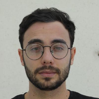
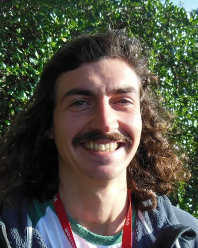
Previously, Eduardo worked as a project technician on oceanic-atmospheric projects at the Atmospheric Sciences and Climate Change Institute, UNAM, Mexico. His work included analyzing cold surges and oceanographic data processing.
